Weather Apps Compared: What UK Users Should Look For Beyond the Icon
Two phones, same town, same afternoon: one shows a sun behind a cloud, the other a grey blob with a raindrop. Both draw on broadly similar data. The difference is what the app does with it — how often it refreshes, which model it trusts, whether your postcode counts as "near Leeds", and whether it bothers to tell you when the forecast changes. The icon is the shop window. Everything useful is behind it.
The icon is a summary, not a forecast
Most apps boil a period down to one symbol, usually the most notable weather in that window. A light-rain icon for Tuesday might mean steady drizzle from 9am to 3pm, or one shower with a 30% chance of hitting you at all. Those are very different days to plan around.
Before judging an app on its icons, look for:
- Hourly detail for at least 48 hours, with rain shown as a probability and an amount in millimetres.
- Gust speed as well as average wind. A 25 mph average with 45 mph gusts changes whether you cycle or drive.
- Feels-like temperature, which accounts for wind and humidity and matters more than the bare number in winter.
- Clear timestamps. A forecast issued at 3am and never refreshed is a different product from one updated an hour ago.
If tapping the icon gives you nothing but a bigger icon, look elsewhere.
Rain radar: the feature that earns its place
For the next hour or two, radar beats any model. It shows where rain actually is, and a decent app will animate the past couple of hours and extrapolate forward 60 to 90 minutes. That answers the practical question: walk the dog now, or in twenty minutes?
Check two things. First, whether the rain layer is observed or forecast. Some apps stack one on the other without saying so, and the future part is only a guess based on drift — reliable for a solid band arriving from the Atlantic, useless for showers bubbling up on a warm afternoon.
Second, refresh rate and coverage. Timestamps should move every five to fifteen minutes. Radar also has blind spots: the beam sits high above the ground far from the transmitter, so drizzle, snow and mist can go missing, while coastlines often show clutter that looks like rain. Treat radar as evidence, not gospel.
Location accuracy: your postcode is not a weather station
Every forecast comes from a grid of points, and the app picks the nearest one to you. In flat, uniform countryside that works. In the UK it often does not. A grid point can sit on a hilltop, in a valley or out at sea, and real effects — sea breezes, urban warmth, frost pockets, rain piling up on west-facing slopes — do the rest. Two places twenty minutes apart can differ by several degrees, or by whether it rains at all.
What to do about it:
- Save your home, your workplace and any nearby high ground or coast as separate locations, and compare them when the forecast looks marginal.
- Check the location name the app is actually using. "Current location" drifts to a neighbouring town when GPS is weak, or to the centre of a city you are only passing through.
- Prefer apps that let you search by postcode or village and pin it, rather than snapping you to a grid square.
Which model is behind the numbers?
Apps rarely say, and most blend several. Broadly, you are choosing between global models, which cover the planet with grid points tens of kilometres apart, and higher-resolution regional models focused on the UK and nearby waters, with grid points of a few kilometres or less.
Higher resolution helps most on showery, marginal, coastal days — when one town floods and the next stays dry. It helps least when a slow-moving front covers the whole country and every model agrees anyway.
More useful than the model name is update frequency and whether the app shows probability. A 30% chance of rain is not hedging; it means that in roughly three runs out of ten, rain reaches that point. A dry icon with a 30% figure behind it is telling you to keep an eye on the radar.
Blends, trends and long-range screens
Some apps blend models into one consensus line, which smooths out extremes and can quietly remove a heavy-rain signal. Others show a single model's raw output. Neither is wrong, but an app that only ever shows one number, with no sense of spread, is hiding its uncertainty. As for 30-day outlooks, treat them as a steer on whether the month looks warmer, cooler, wetter or drier than average — not as a diary you can plan a barbecue around.
Alerts and warnings: make them work for you
The Met Office runs the UK's official warning service, using yellow, amber and red to signal likely impacts. Many apps republish those warnings; some write their own. Check which yours does, and whether tapping a warning tells you the area, the timing and what it means in practice.
Separately, most apps offer push notifications: rain starting in fifteen minutes, new warnings, or a morning summary. Two rules save a lot of irritation. Switch on only the alerts you would act on, and set quiet hours overnight unless you genuinely need them. A warning that arrives eight times a day gets ignored — including the one that matters.
Then remember the scale problem. Thunderstorms, snow showers and fog are small and local, so a warning covering half a county may never reach your street. Warnings tell you to pay attention; your own eyes and the radar tell you what is happening.
Features worth having — and what to ignore
When you compare two free apps, then a paid one, these are the features that change how you use it:
- Radar with a scrubbable timeline and a visible timestamp.
- Hourly forecast to 48 hours, with probability and rainfall amount.
- Wind gusts and direction shown together.
- Saved locations that stay where you put them.
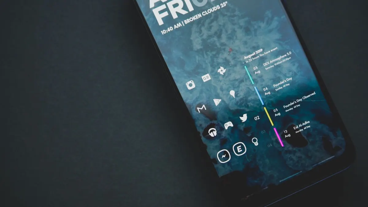
- A home-screen widget covering the next few hours, not one icon.
- Offline caching, useful on hills and in poor signal.
Less useful: elaborate animations, unverifiable "hyperlocal" claims, and any app that sounds confident about a specific hour ten days out.
How to choose in an afternoon
- Pick three apps: one from the Met Office, one big-name general app, one independent.
- Save the same three locations in each.
- For a week, note what each predicted for the next six hours and what actually happened at your window.
- Check the radar refresh rate, and whether future frames are labelled as forecast.
- Turn on one warning alert in each, then decide which has earned a place on your home screen.
Keep two. Use one as your default and the other as a sanity check when the forecast really matters — a wedding, a long ride, a flight. Every app has quirks: it over-reads showers, runs warm in a city, lags an hour behind on fronts. Knowing those quirks is worth more than any icon.